AI and satellite data.
Land potential, in focus.
SatGeo AI is a product of Rare Earth Elements Group Ltd, combining satellite imagery and AI-assisted interpretation to support mineral exploration decisions worldwide.
 SatGeo AI
A new lens
on land potential.
SatGeo AI brings satellite evidence, AI-assisted interpretation and human review together for exploration teams, geologists and mining investors. Explore the live platform, compare packages and request a quotation for your area of interest.
Explore SatGeo AI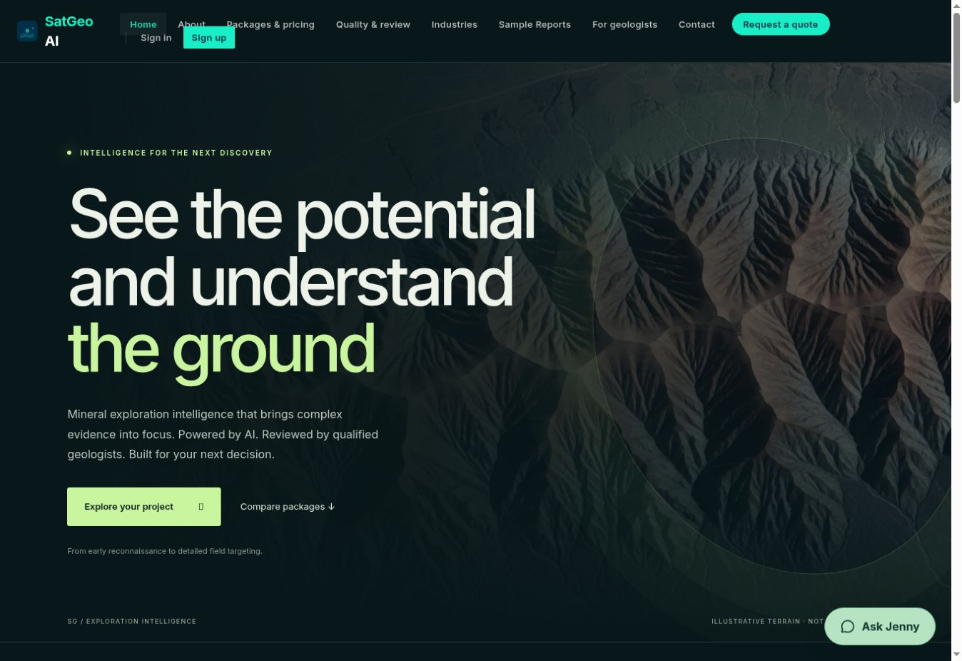
A clearer first look. Grounded in field insight.
SatGeo AI is designed to support land-potential assessment. Satellite imagery can add useful surface context, while geological interpretation, fieldwork and technical evaluation remain essential to the exploration process.
An AI-assisted assessment is one input to exploration decision-making—not a discovery, mineral resource or commercial conclusion. Product coverage and technical specifications are shared through approved product materials.
USGS · Satellite-based mineral mappingRemote sensing and field-data research